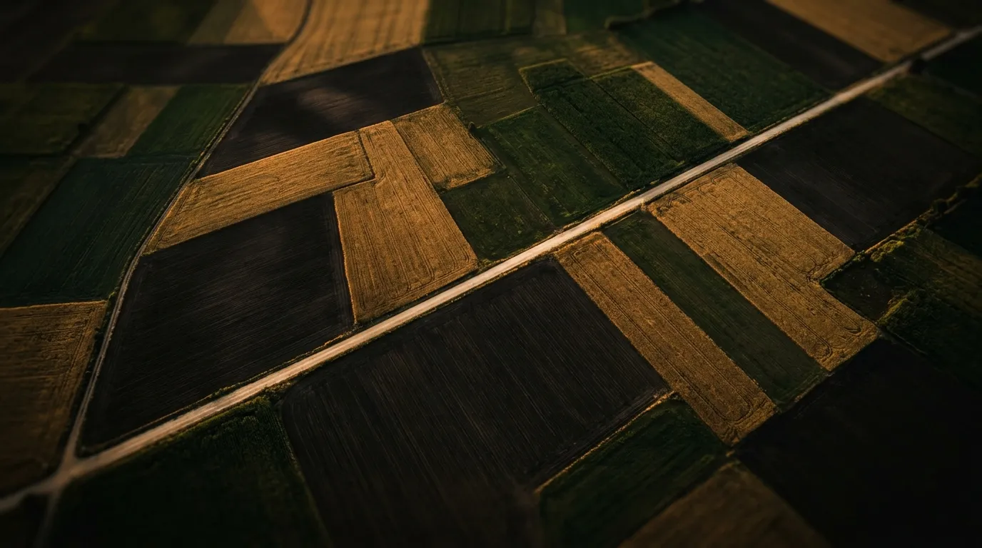
Drone Surveys
Aerial IntelligenceSee your fields the way satellites see cities — at centimetre resolution.
Scope on requestDrone Surveys map your land from the air at centimetre resolution. A single flight can capture true-colour orthomosaics, multispectral NDVI vegetation-health maps and 3D terrain models, covering 100+ hectares in a day. Scope and pricing are quoted per project, based on parcel size, the sensor mix and the deliverables you need.
It is built for vineyards, large estates and agronomists who need to spot anomaly zones across a property quickly. The natural next step is to confirm what is happening on the ground: pair an aerial survey with PhytoTrace to screen the soil at the flagged zones for pathogen DNA.
RGB Orthomosaic
True-colour aerial photograph stitched from hundreds of overlapping images. Centimetre-level resolution. Georeferenced and measurement-ready.
Multispectral Imaging
NDVI, NDRE, and chlorophyll maps that reveal plant health invisible to the human eye. Detect stress zones, nutrient deficiencies, and irrigation failures weeks before visual symptoms.
3D Terrain Model
Digital surface model from photogrammetry. Elevation data, slope analysis, drainage modelling. Plan irrigation and grading with precision.
3D Gaussian Splatting
Photorealistic 3D reconstruction of your terrain using neural radiance fields. Walk through your fields virtually. Share immersive views with remote stakeholders.
AI-Planned Autonomous Missions
Define your monitoring zones once. Set your cadence — weekly, bi-weekly, monthly. Our AI plans the optimal flight path, accounts for weather windows, and executes the mission autonomously. You receive processed data in your dashboard without lifting a finger.
Complete Field Intelligence
Drone data alone is a map. Combined with ground-truth soil analysis, it becomes intelligence. We fuse aerial imagery with BioNIR spectroscopy and laboratory results to create a unified picture of your field — from orbit to organism.
From Flight to Insight
We survey your property, define flight zones, and plan sensor payloads based on your goals.
Multi-pass flights with RGB, multispectral and 3D capture sensors. Ground control points for sub-centimetre accuracy.
Photogrammetry, spectral index calculation, 3D reconstruction, and Gaussian Splatting generation.
Interactive dashboard with zoomable maps, health overlays, and downloadable GIS-ready datasets.
Complementary Services
Frequently Asked Questions
What is the image resolution?
RGB orthoimages have 2-3cm/pixel resolution. Multispectral NDVI maps operate at 5-10cm/pixel.
What is the maximum area per flight?
Each mission covers 100+ hectares in a day, depending on weather conditions and terrain complexity.
What is NDVI?
The Normalised Difference Vegetation Index measures vegetation health through infrared light. Higher values indicate healthier plants.
Ready to start?
Send us your samples, share your research question, or tell us about your project — we'll design the right analytical protocol.
Request analysis